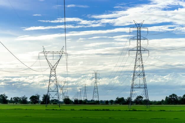
Routing High-Voltage Power Lines Across Three Provinces — With Satellites, LiDAR, and Drones
Working with ESRI Thailand (G-Able), I designed the route for a high-voltage transmission line crossing three provinces in southern Thailand, where the governing constraint wasn't distance or cost but avoiding buildings — every house in the corridor means land acquisition, compensation, and real disruption to families. I built the analysis as a multi-resolution funnel: Landsat 8 imagery processed in ENVI auto-digitized land cover across the whole region (built-up areas, roads, vegetation) to narrow hundreds of possible routes down to a few plausible corridors; LiDAR then supplied the vertical dimension those corridors needed — terrain elevation, building heights, and canopy height for conductor clearance; and drone imagery covered the final stretches where two alignments were close enough that individual structures decided it. Filtering cheaply at wide scale and reserving the expensive sensors for the genuinely hard decisions turned a subjective routing argument into a defensible comparison: how many structures does each alignment affect, and what land has to be bought.